Prince Rupert had the fourth wettest September on record, Environment Canada stated on Oct. 1.
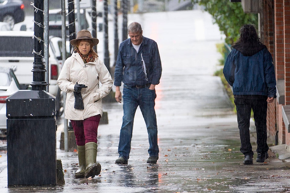
City residents were reaching for umbrellas and rain boots last month, when it received more than 497 mm of rain over the course of 30 days. The city normally receives an average of 266 mm of precipitation during Sept.
Increased rain has been due to an early storm cycle season this year, which usually begins in October, Bobby Sekhon, meteorologist for Environment Canada, said.
Heavier than normal rains came in waves throughout the month, he said.
The municipality normally receives three days with more than 25 mm of rain in September, but this year it received seven days. The first week of September saw three days with more than 25 mm of rain while Sept. 20 received 80 mm and Sept. 23 and 24 got a combined 156 mm of rain leading to local flooding. Sept. 30 received 35 mm of precipitation.
Temperatures are expected to cool down lower than average starting Oct. 9 through Oct 16. Daytime highs are predicted to be no warmer than 10 C with nighttime lows of less than 5 C.
READ MORE: Continued rain causes flooding in Prince Rupert
Norman Galimski | Journalist
Send Norman email
Like the The Northern View on Facebook
Follow us on Twitter