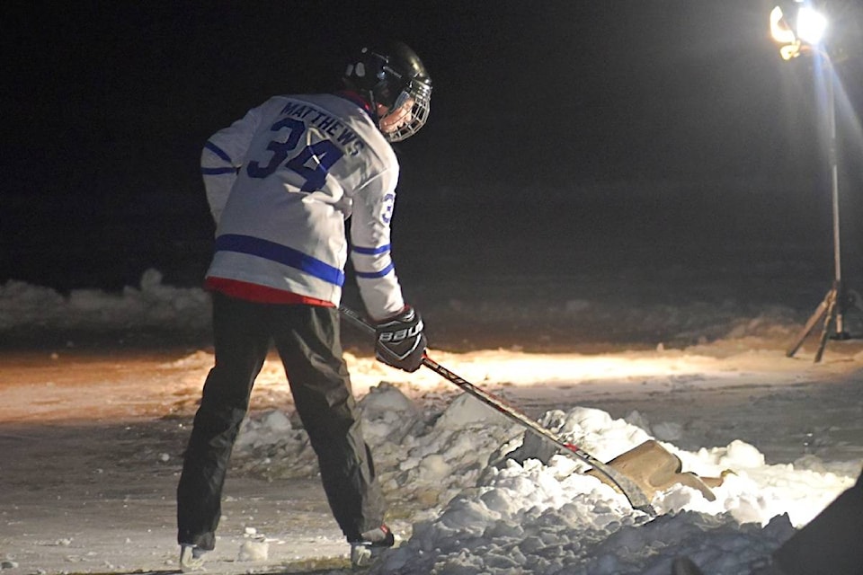
Environment Canada has issued Arctic Out Flow warnings for the Prince Rupert and Northcoast region on Feb. 11 as an Arctic front, strong outflow winds, and wind chill values plummet area temperatures and send the region into a freeze of -20 C. Frostbite and hypothermia can occur within minutes if adequate precautions are not taken when outdoors.
Windchill factors will make the temperatures feel much colder, Bobby Sekhon, warning preparedness meteorologist for Environment Canada told The Northern View.
Temperature records were broken on Feb. 10 in the city when the mercury dropped to -15.1 C colder than the previous record of -12.2 C set in 1975.
“So, you will see cold air coming in from the interior and also higher wind speeds as well. That combination leads to these wind chills,” Sekhon said. “For Arctic outflow warnings, the criteria is generally to have windchill that could go down to about - 20.”
Windchill is a combination of temperature and wind speed, Sekhon said. “If I were to sum it up in one sentence it is how cold it feels to the human body.”
Sekhon said even though the temperature may be -5 C or -10 C when the wind factor is added in it will feel a lot colder.
“Our skin naturally has this boundary layer on it as a kind of warm layer around your skin, and when the wind hits it, it takes away that warm layer. Your body is forced to try and replace it,” Sekhon said. “That’s when you start to feel cold and if you’re exposed it is constantly being ripped away.”
That is when frostbite and hypothermia can set in, he said.
The weekend will see a transition creeping up above freezing which will bring some snow, Sekhon said.
“By the early part of next week, we’re going to get closer to average temperatures for this time of year. But before that happens, we will still have cold temperatures for the next 24 hours at least,” Sehkon said. “Also the winds will keep up through Friday, at least, and maybe even into Saturday.”
Winds through the mainland, inlets, and valleys may be gusting up to 80 km ph, he said.
K-J Millar | Journalist
Send K-J email
Like the The Northern View on Facebook
Follow us on Twitter
