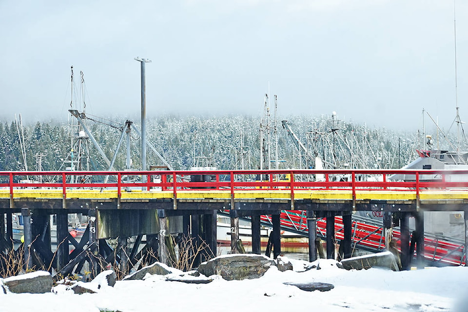
Three back-to-back storm weather systems are on their way to Prince Rupert according to Environment Canada on April 7. Locals will see rain, snow, and more rain over the next seven days.
While snow in April is not unusual with a 2.8 cm average recorded by the weather authority from 1981 to 2010 the heavy wet snow covering the coastal region is little different, Lisa Erven meteorologist for Environment Canada told The Northern View, on April 7.
The wet snow is a result of a ‘large scale upper-level trough’ which is bringing cold air masses with rainy conditions to Western Canada.
“So under this pattern, because we’ve got this cold airmass associated with these low-pressure systems moving through, our freezing levels are quite close to the surface. And as you’re experiencing today, the snow is actually falling down to sea level,” Erven said.
Mixed precipitation and similar weather patterns will be seen in the next two to three weather systems moving through the area with the second system arriving on April 8.
“Our next system is arriving on the North Coast for Thursday. We’ve got rain beginning at noon … we’ve got slightly warmer temperatures to start with, so we’re expecting the system to come in with just rain,” Erven said.
Rain will continue overnight Fri. to Sat. and temperatures will drop down to a low of 2 C.
“More likely you’ll notice a very low snow level on the surrounding mountains, but it’s looking like the precipitation will just come as rain with this second system.”
Freezing levels will continue to drop to near sea level until Saturday (April 10) when the third weather system will graze the region, she said. There will be mixed precipitation of rain and some flurries.
Erven said when meteorologists track storm systems particularly for low elevations like coastal communities it is important to see where the storms are coming from. If they approach from the north they will be cooler with an Arctic influence, and if they come up from the south they will be warmer due to the subtropical airmass.
“So over these next four or five days, or storm systems are coming down from Alaska. So that’s why they’re they’re bringing in that colder air with the lower freezing levels.”
Erven said it’s not all wet and soggy, the good news is that by mid-week a ridge of high pressure will build in the south and interior of the province, with temperatures rising to warmer and more seasonal along the North Coast.
K-J Millar | Journalist
Send K-J email
Like the The Northern View on Facebook
Follow us on Twitter