Prince Rupert city planner Zeno Krekic was the guest of the Prince Rupert and District Chamber of Commerce luncheon on Oct. 17, and spoke about the Waterfront East Land Use Plan.
Before going into the different areas of the waterfront, Krekic spoke about property ownership and the role it plays in potential development. For instance, he said, there was a lot of people during the public consultation period that spoke about waterfront access west of the Lightering Dock, but that land is owned by CN and out of the City's jurisdiction. That being said, Krekic outlined the six sections the eastern waterfront had been split into: Millenium/Kwinitsa, Cow Bay, Cow Bay East, Rushbrook, Seal Cove, Sourdough Bay and areas south.
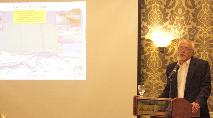
In the millenium/Kwinitsa area, which encompasses Rotary Waterfront Park through to Cow Bay, Krekic said the priority was waterfront access, but that people also brought forward the idea of a parking lot for the Metlakatla Ferry dock.
In Cow Bay, Krekic outlined plans to extend 3rd Avenue and hook it back to the current roadway to eliminate reliance on the aging Cow Bay Bridge, and also said plans for the area would be heavily affected by the plans of the Prince Rupert Port Authority for the Atlin Uplands and the Cow Bay area.
When it came to Cow Bay East, which includes the area from the marina to the fish plant, Krekic said part of the problem lies in the cost associated with the legally required remediation of old industrial sites for use as either commercial or residential properties.
“It is a big irritant to me, a big irritant to council, and I would say an even bigger irritant to developers...There is a desire to bring residential into this area, which I think is a great idea and something you see more and more of in North America, but I am worried about how we could execute it because remediation of a site from industrial use to commercial use is one level but remediation from industrial use to residential use is another,” he said.
“Cow Bay east is the next step in developing Cow Bay, and the barb wire and fencing keep coming up in consultations.”
For Rushbrooke Krekic discussed the desire to have a trail that could connect Kwinitsa to Seal Cove and provide more waterfront access. As for Seal Cove, Krekic called it an underutilized “gem in Prince Rupert”.
“If Seal Cove is a gem, then I would say Sourdough Bay is a diamond,” said Krekic of the waterfront past seal cove leading toward the Grassy Bay area.
“Unfortunately it is owned by the Federal Government, we have no jurisdiction, and nobody in the federal government wants to talk to us about using it.”
Finally the areas south, which run from beyond Grassy Bay to the bridge leading to Port Edward, Krekic said there is a lot of interest in recreational uses, ranging from trails to zipines to canopy walks, and possible housing.
“There is some great opportunity for residential development in the area, including Miller Bay, but I think we are a long way from that,” he said, noting other feedback has suggested moving the Rod and Gun Club.
The committee looking after the Waterfront East Land Use Plan will be holding a public forum at the Lester Centre beginning at 6:30 p.m. on Nov. 7, and will be making final recommendations to council on Dec. 10.
“Ignorance is not bliss. When people come in and say 'well I didn't know', that doesn't work,” said Krekic in encouraging people to get involved in the process.
“What I really want to do is to gather enough information from the community...Into how we can create guidelines and rules on the waterfront so we will have less conflict.”