Prince Rupert will see temperatures plummet to -15 C on Christmas day, Environment Canada said on Dec. 21.
This latest cold snap for Prince Rupert is unusual, but is not set to break any records, Brian Proctor, meteorologist for Environment and Climate Change Canada, told The Northern View.
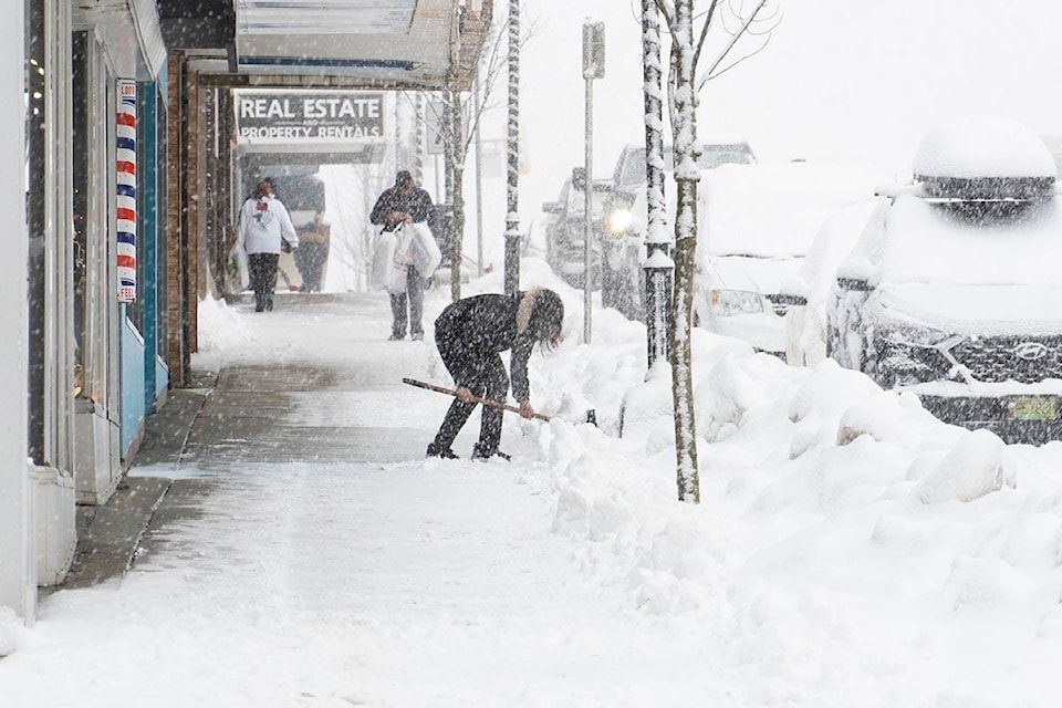
The coldest temperature recorded in the city on Christmas day was -17.8 C in 1974. Additionally, the record for the most accumulated snow on Dec. 25 the city has ever seen is 28 cm, experienced in 1964. There is little to no snowfall predicted in the forecast over the Christmas weekend, the meteorologist said.
The unusually extended cold snap in the region is being caused by a combination of factors, one from Alaska and the other from the B.C. interior.
From the Gulf of Alaska, a Northwest arctic flow pattern is brushing up against the North Coast causing the current, and future, chilly weather. Combined with Arctic air dammed up in the Interior, which is “seeping out,” is responsible for the abnormal, but not completely out of the realm of the possible, conditions, Proctor said.
Occasionally, cold air trapped in the Interior escapes and, when that happens, the North Coast tends to get snow. While temperatures are forecast to rise, they will still stay below freezing after Boxing Day.
Across the province, communities will see similarly frigid conditions with a series of strong storms set to clash with cold Arctic air throughout the holiday season, the Ministry of Public Safety and Solicitor General, said on Dec. 21.
Drivers are advised to be prepared if they will be travelling during the rest of the holidays.
“The important thing for people that are looking at travelling [is] to take their time, drive to the road conditions and make sure you have a winter safety kit,” Proctor said.
Kits should include blankets, candles, a shovel plus other essentials.
Residents travelling further inland will see even more snowfall than Prince Rupert and should be prepared accordingly, he said.
The Arctic flow is not expected to increase any kind of avalanche patterns on the North Coast. For that to happen, there would need to be higher temperature and much heavier snowfall to make snowpack layers unstable, Proctor said.
The City of Prince Rupert announced, Dec. 21, it will be clearing snow on 6th Avenue East and 2nd Avenue West bridges “over the next few days.” Drivers can expect delays and are asked to follow traffic controls.
READ MORE: Cold snaps all weather records in Prince Rupert
READ MORE: Cooler winter conditions predicted in Prince Rupert following a dry summer
Norman Galimski | Journalist
Send Norman
Like the The Northern View on Facebook
Follow us on Twitter