“So the question is, do you try and mitigate an event that probably won’t happen,” was the summarizing question posed by Graham Farsta, from Arlington Group, to the Prince Rupert City council.
Councillor Gurvinder Randhawa was the acting mayor at Monday night’s council meeting in place of Mayor Lee Brain who was absent. Randhawa and the rest of council heard a presentation on the draft of the tsunami study presented by Farsta and Phillipe St-Germain from NHC.
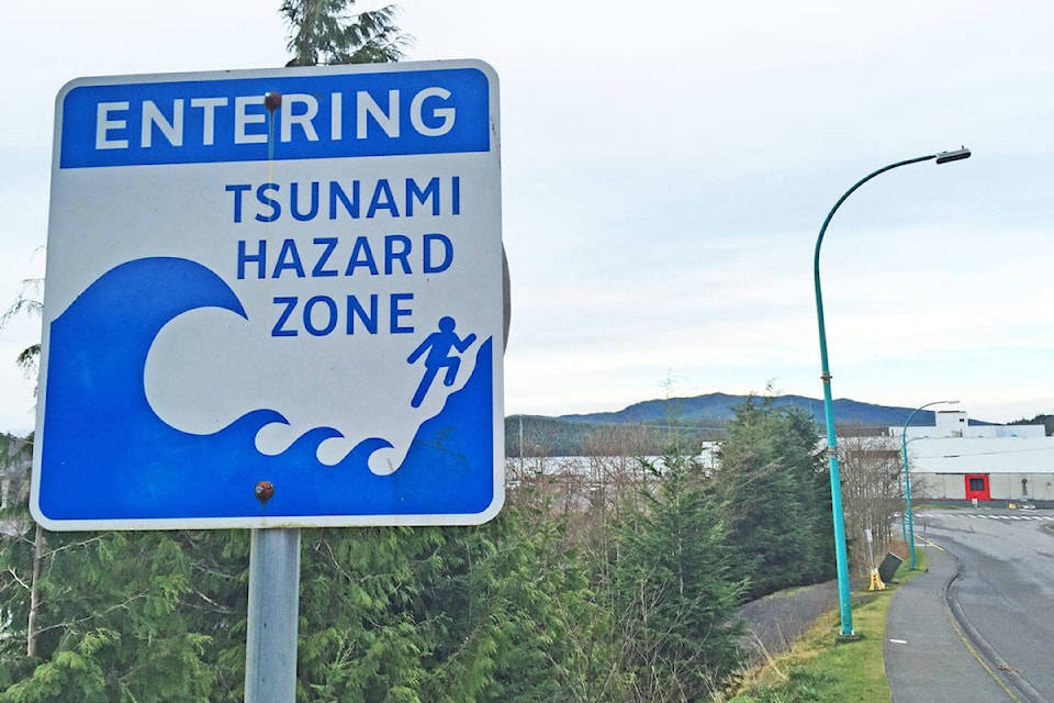
The study’s results are good news for residents who feared that heavy tidal waves would come crashing down at high velocity on the city in the event of a tsunami.
The Alaska subduction zone poses the biggest threat for Prince Rupert. St-Germain said his simulations were based on the data from the 1964 Great Alaskan earthquake, measuring a magnitude of 9.2 and causing 131 deaths.
He explained that in the event of a tsunami the town would have four to five hours to prepare before the first waves hit shore, if a similar sized event were to occur. Additionally, the wave would only add an extra metre to the sea level at the time.
“By the time its here, its just a ripple,” he said.
READ MORE: Real-life tsunami threat in Port Alberni prompts evacuation updates
Cow Bay, a handful of marinas, and the Digby Island Ferry Terminal, face some risk in the event that logs or other debris crash into the buildings, but for the most part they are low risk and well protected.
All residential areas and the city’s emergency facilities – City Hall, the Civic Centre, and Charles Hayes Secondary School – are not a risk said Farsta because they rest above and away from the shore.
The city’s major roads are built along the mainland, away from the flood zone. The CN Rail yard stands six metres above the sea level, a tsunami would only cause the water to rise an extra two meters, said Farsta.
The Cascadia subduction zone – spanning from the north end of California to north Vancouver Island — does not pose any serious threat to Prince Rupert because the waves will move away from the coast, and it will take up to four hours before the first set makes its way this far north, said St-Germain.
Emergency preparedness day
On Tuesday, May 28, the city is holding the High Ground Hike, an event in conjunction with Emergency Management BC, to raise awareness around local emergency evacuation routes, emergency stations, and general emergency preparedness in the city.
The event begins at 1:30 p.m. at Kwinitsa station and finishes at the Jim Ciccone Civic Centre with an Emergency Preparedness Fair until 7:00 p.m.
READ MORE: Tsunami warnings 101: Canada
More from council
Council voted unanimously to select Watson Projects to complete the Child Care Assessment and Action Plan. The city received $24,700 in funding from UBCM, which they previously voted to direct toward a child care needs assessment “to inform future development of child care spaces for the growing port community.” Prince Rupert’s Official Community Plan had highlighted lack of affordable child care and availability of space as two major concerns from residential families.
The next council meeting is scheduled for 7:00 p.m. on June 10. Meetings take place in the council chambers on the second floor at city hall.
Jenna Cocullo | Journalist
Jenna Cocullo
Send Jenna email
Like the The Northern View on Facebook
Follow us on Twitter