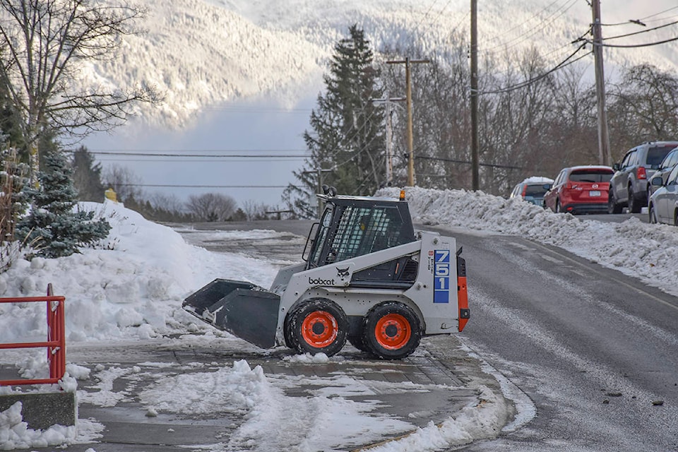
This past weekend’s double snowstorm halted Terrace and Kitimat in its tracks as the biggest snowfall hit the area since 2015.
From Jan. 3 to 5, the North Coast winter storm warning resulted in heavy snowfall, leaving many without power and canceling flights at the Terrace-Kitimat Northwest Regional Airport.
In Terrace, many businesses shut down early on Friday as the snow grew heavier and reached 58.4 cm that day, according to The Weather network.
Due to low visibility and a significant amount of snow, the Ministry of Transportation and Infrastructure put out a travel advisory along Hwy 16 and Hwy 37 that was then lifted the following day.
Despite only 3.4 cm on Saturday, Sunday threw in another shovel workout day with 22.8 cm resulting in a weekend total of 84.6 cm.
With already 25 cm on the ground from Thursday, Kitimat had 57 cm on Friday, 4 cm on Saturday and topped up 22.8 cm on Sunday bringing the grand snow total to 108. 8 cm.
In 2015, Kitimat received over 117 cm and Terrace saw over 94 cm on Feb. 5 that left thousands without power.
READ MORE: Limited visibility on Hwy 16 and cancelled flights in Terrace, snow storm warning
No power
This year on Jan. 5, overnight snow with freezing conditions caused trees to topple over BC Hydro power lines that affected approximately 1,071 residents in the Terrace area.
Affected BC Hydro customers were along Kalum Lake Road, the Lakelse Lake area, both directions on Highway 16 including some residences in Thornhill and Old Remo, along with parts of the Horseshoe in Terrace.
BC Hydro crews worked to remove trees and repair lines, slowly restoring power throughout the day to communities. All were reported reconnected by midnight.
As the snowstorm rolled into the province on Jan. 1, the southern and central interior of the province saw about 100,000 BC Hydro customers ring the new year in with darkness.
READ MORE: Thousands in southern B.C. without power in aftermath of winter storm
Icy roads
Although slippery conditions on the highways left a few vehicles in the ditch, including a garbage truck on Hwy 37, fire department services weren’t needed much throughout the weekend.
The Terrace Fire Department responded to three calls and the Thornhill Fire Department responded to one.
Terrace Fire Department’s fire chief John Klie says although the weather was the worst they’ve seen for years, many people made the right decisions to drive slowly or to avoid travel during the snowstorm.
“We did get calls about power lines being down but most of them were dealt with by Telus or hydro crews,” he says. “When there’s a lot of snow, people are going slow and if they slide off the road, they’re not going to get hurt.
Klie says they received multiple calls reporting vehicles off the road but all the drivers with passengers managed to deal with the incident on their own and were not injured.
Thornhill Fire Department’s fire chief Rick Boehm adds a reminder to the public to check if anyone’s in the car before calling emergency services as oftentimes drivers have already left and arranged help. Vague tips take away time from the fire department that can result in a longer emergency response time.
READ MORE: Rare warning of ‘extreme’ avalanche risk issued as storm hits B.C.
Ski hill
Shames Mountain enthusiasts welcomed the snowstorms in cheer, with My Mountain Co-op reporting a total of 125 cm at the lodge base and 180 cm at the mid-mountain base on the morning of Jan. 5.
Many snowstorm warnings are still in effect throughout the province, including a rare “extreme avalanche risk” warning issued by Avalanche Canada this past weekend.
As of press time on Jan. 7, the organization lowered its avalanche warning to level three, or “considerable”.
Avalanche Canada reports on its website that storm slabs were observed in the Shames area and the Skeena coordinator, adding that signs of instability have been observed in isolated areas on low angle terrain below the treelines.
Looking ahead
The Weather Network predicts that another 18.3 cm of snow is expected to fall by the end of this week in the Terrace area. Kitimat can see up to 30 cm.
Next week’s forecast suggests a cold spell is on its way, with temperatures dropping between minus 10 degrees celsius to minus 17 in Terrace, and between minus eight and minus 14 in Kitimat.
Parts of the Kitimat-Stikine region are expected to experience temperatures ranging between an all-time low of minus 31 degrees to minus 21.
natalia@terracestandard.com
Like us on Facebook and follow us on Twitter