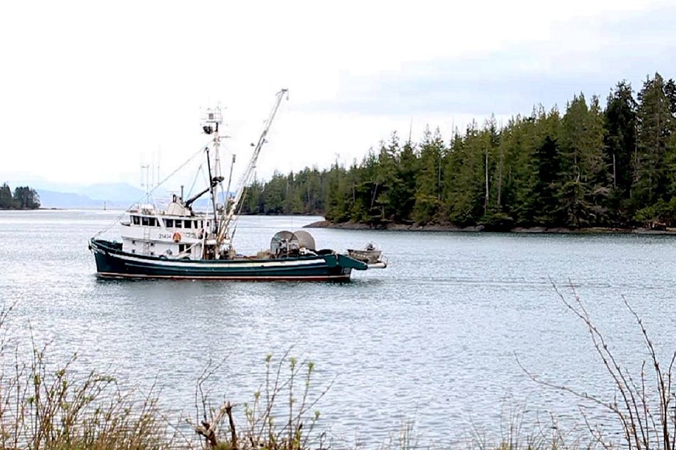
A group of commercial fishermen gathered at the Highliner Hotel in Prince Rupert on Jan. 9 to ensure their voices were heard over discussions regarding the government’s plan to establish a series of marine protected areas in the region.
The gathering was led by Bruce Turris, Brian Mose, Grant Dovey and Mike Atkins, who together call themselves the ‘Marine Planning Team’ (MPT). The group is working on behalf of commercial fishermen in B.C.’s Northern Shelf Bioregion, and believe the input of fishermen is crucial to making sure the marine protected areas — which would either be off limits to commercial fishing or see catch numbers greatly reduced — balance conservation with the needs of the fishing industry.
This is not Turris and his partners first experience with such a project. An effort to establish similar zones in the Gwaii Haanas region of Haida Gwaii last year called for input on how local fishermen would be affected. The Marine Protection Team, who had done prior work coordinating issues within different fishing groups, offered their services in an effort to weigh environmental, cultural and business needs. The result was the Gwaii Haanas Waadluxan KilGuhlGa Land-Sea-People Management Plan, which saw certain waters closed to fishing while others were made re-available.
READ MORE: Marine Ecologists at work to protect kelp forests in the Gwaii Haanas National Park Reserve
A marine protection area (MPA) is a zone that has been designated for a focus on conservation and sustainability efforts. In 2011, the National Framework for Canada’s Network of Marine Protected Areas was approved by the Canadian Council of Fisheries and Aquaculture Ministers. This set in motion a project to determine appropriate MPA’s for Canada’s many coastal regions, which is conducted through a partnership between federal and provincial governments along with First Nations groups.
In February 2019, a draft scenario of potential MPA’s was completed for the Northern Shelf Bioregion (NSB), which consists of four areas: the North Coast, Central Coast, Haida Gwaii and North Vancouver Island. The NSB partners asked for feedback on their proposal to be submitted by June.
Referencing their past work on Gwaii Haanas, the MPT said they would conduct a similar undertaking with B.C.’s commercial fishers in the NSB region, but that it would take longer than four months. Granted an extension, the team set about visiting all 24 commercial fisheries in the area, speaking with local fishermen of all backgrounds to see what they thought of the maps, and charting alternate MPA’s where they felt appropriate. Over the course of several months, the MPT received feedback from fishermen involved with all different types of catches, as well as needs unique to First Nations fishermen such as ceremonial fishing practices.
READ MORE: Prince Rupert guide fined $2K in first conviction under new federal whale protection laws
Turris said there were plenty of common themes among the various commercial fishermen of the NSB.
One was regarding side effects of closing off certain bodies of water. “If you have too much closure in one area, it just pushes effort out into the other areas, which will result in too much concentrated effort in those areas,” Turris said.
“This would result in uneconomical fishing and possible impairment to the sustainability of the resource of the fisheries as well,” Turris added.
The meeting in Prince Rupert was spent showing the findings of these consultations, and how the MPT maps differed from the ones proposed by the NSB partners. The meeting follows similar gatherings in Nanaimo and Vancouver, with a final meetup scheduled for Port Hardy. Following feedback from these meetings, the MTP will present their final proposed maps in Vancouver in February.
Turris said while the government data is extensive, it does not fully take into account changing demographics and history of the fishing industry.
“They’ve given us the ecological and cultural objectives that they’re trying to achieve, and we’re trying to show that we can achieve those while still allowing for viable commercial fishing access,” Turris said. “This clearly wasn’t given enough consideration in the development of the draft scenario.”
READ MORE: Marine protected areas not all good, says Vancouver Island fisherman
“Just allowing this plot or that plot to be open for fishing doesn’t mean it will be viable, because you have to have enough access and enough participants to support the necessary infrastructure. There is not enough boat fishing in an area to support a fuel dock or a landing station or a processing plant or an ice house. Those places are going to close, and it doesn’t matter how many boats you have then because there won’t be a support system,” Turris added.
“The fishermen’s knowledge and experience is far more extensive in many cases than the information that the government has. In some cases, we’re actually making recommendations to improve on the protection because we have better information about where the features are and where the protection would be better served.”
Alex Kurial | Journalist
Alex Kurial
Send Alex email
Like the The Northern View on Facebook
Follow us on Twitter